
- Scenic Beauty: 3.0 (DFW 4.5)
- Difficulty: 2.5 (DFW 4.5)
- Steepness: 2.5 (DFW 4.5)
- Technicality: 2.5 (DFW 3.75)
- Dog Friendly: Yes
- Water: No
- Location: 5950 Eagle Ford, Dallas TX
- Distance: 13 mile total
- Elevation Change: +/- 2500′
[facebook]
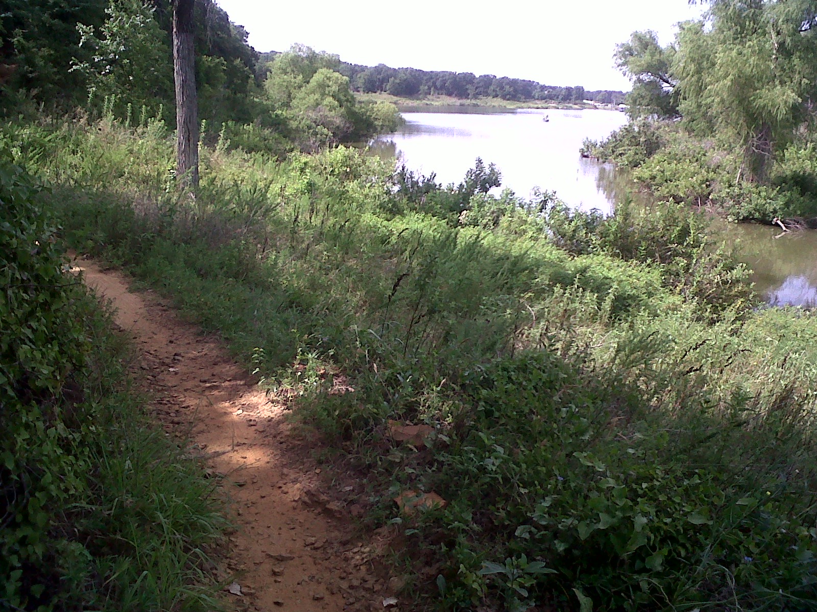
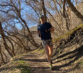
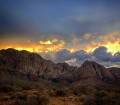
We just got back from our the Big Cedar Wilderness Trails in south Dallas TX. When it comes to the DFW metroplex the trail does not disappoint.
The trails are on the property of Mountain Creek Church. DORBA.org installed, manages and maintains the trails. Compared to other DORBA trails these are some of the best. The signs alone are worth running out there. Each trailhead has a poster board telling you the trail name, direction, difficulty and description. Also, directional signs with the trail color and name keep you going in the right direction. Often, when you pack a lot of trails into a small space they cut across each other and you find frequent bypasses. This is somewhat true at Big Cedar but the signs are so good it’s difficult to get lost.
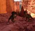
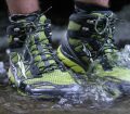
Besides the signage the trails offers a little something for everyone. It’s all single track, has tight turns in places, a few switchbacks, small 10′ to 15′ drops and climbs along with a few longer hills climbs and descents. The trail itself is mostly pack dirt. The few rocky areas are very easy to navigate. Most of the trails are pack in dense vegetation and tree cover. Even though there was a 25 mph wind in the open we felt zero wind on most of the trails. Because of this the trails has got to be a sauna in the summer. After a summer rain it’s probably unbearable.
Because of the main feeder loop design you can run pick your distances and get just the right amount of mileage in. There main loop is called Ranger.
The list of trails per the DORBA site are as follows:
- Texas Sunset (blue)…(this loop starts just to the left of kiosk. You can chose to do Texas Sunset first or last) Advanced
- Ranger (white) (This is the MAIN LOOP) Beginner – Intermediate
- Blue Canyon (orange inside of white, it is part of the Ranger Loop) Beginner
- SxSW….South by South West (orange) Intermediate-Advanced
- Dragonfly (blue) Beginner…..first section opening soon.
- Crooked Tree (green) Beginner
- Copperhead Ridge (yellow) Advanced
- Man Bites Dog (red) Intermediate-Advanced
- Pack Mule (green) Intermediate
- I Can (yellow) Beginner
- S.O.S (red) Advanced
We ran the following:
- Ranger
- SxSW
- I Can
- Pack Mule
- Copperhead Ridge
- Man Bits Dog
- S.O.S
The two loops we skipped were Texas Sunset and Crooked Tree.
See the image below and compare to the imbedded LogYourRun.com map.
According to LogYourRun.com we ran about 9.2 miles and captured about 1100 feet of elevation gain. I think we ran farther because comparing the LogYourRun.com map to the DORBA map, the LogYourRun map is missing a lot of detail.
My ratings at the top are based on how these trails compare to the many trails I’ve run across the US. I installed DFW ratings to help those living in the metroplex.

Big Cedar Wilderness Trail Map


[…] More experienced riders seeking more challenging off-road trails may enjoy the Trinity Levees , Oak Cliff Nature Preserve, Boulder Park, and Big Cedar Wilderness Trail […]
1100 Foot elevation gain? I don’t think so
I am looking for a female beagle mix that was lost at big cedar wilderness trails on Christmas Day. She has white, brown, and grey markings and weighs about 20 lbs. Does anyone have info. Or know how I can get the info out more in this area? Or does anyone know the area well enough to assist. This dog was lost there by its owner, who had purchased the dog only 10 days prior from me. It’s heartbreaking that she is now lost in the woods and it’s so cold. Please call me if you can assist or have seen this 8 month old dog. Thanks. 903 335-0731
ATTENTION! New trail: address 7532 Saddleridge,Dallas,Texas. New trail head is inside the gate across ISOM from this address. Just use the address to find the trail head.This is not the address of the trail head.Trail head does not have an actual address.
http://www.dorba.org/trail.php?t=2
Trail Steward: Matt Beall
Asst. Trail Stewards: Jeff Ramsey
Email us: bigcedar@dorba.org
Restrooms are still open. PLEASE: DO NOT park in the church parking lot. Stay out of the back gravel area around the transformer station. The parking around the church building should/must be left for church members. Gravel area belongs to ONCOR! THANKS
Map will continue to be updated as more trail access is gained. For more info visit
https://www.facebook.com/groups/253097255149607/